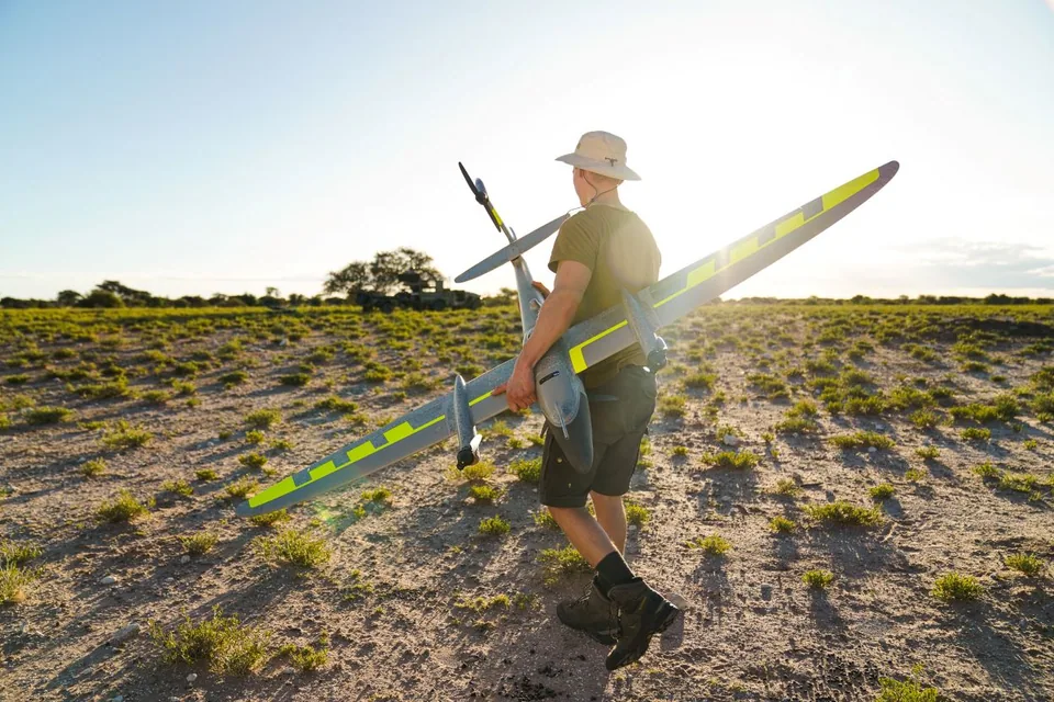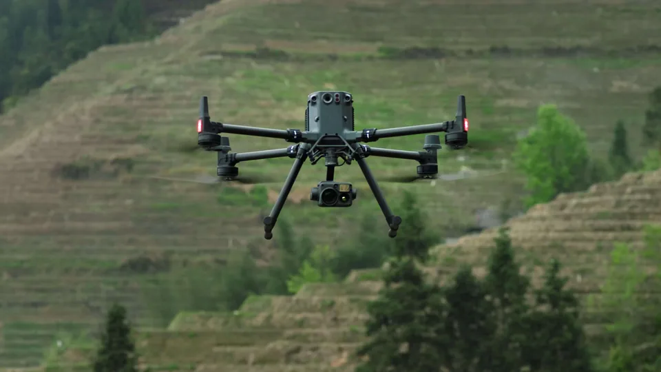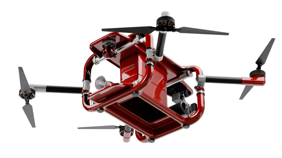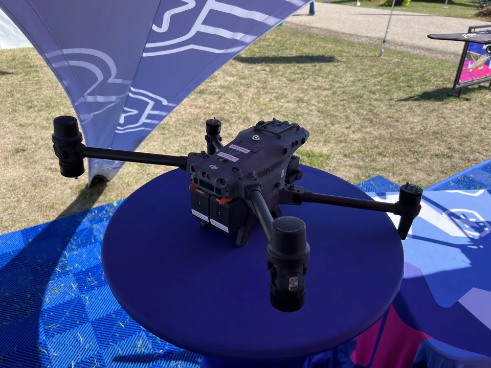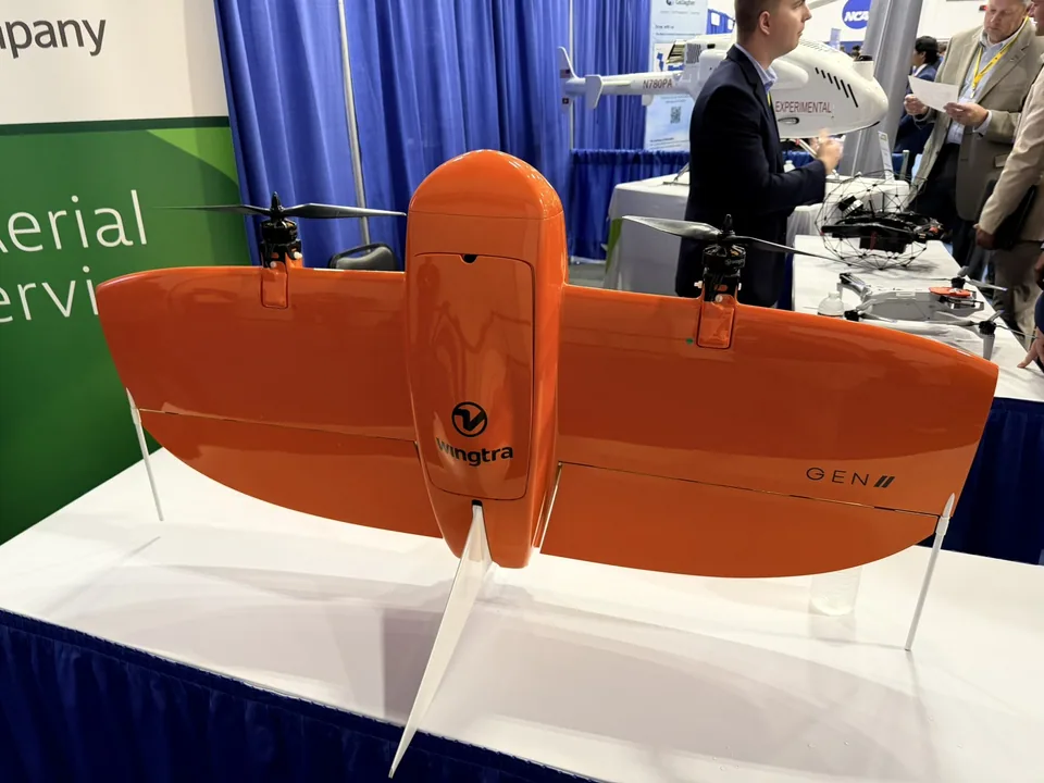
Photo: Wingtra, product page (wingtra.com)
Droneson sale

WingtraRAY

Tail-sitter VTOL mapping drone succeeding the WingtraOne GEN II. Up to 59 min flight time, 550 ha per flight with MAP61, C3 class (C6 with parachute).

Price from

no public price
No confirmed distributor in Poland
  • 5.2kgWeight
  • 0.98hRuntime
  • 1.25kgPayload

Key facts

  • Specificationsweight 5.2 kg · runtime 0.98 h · payload 1.25 kg
  • Statuson sale
  • Availability in Polandnot confirmed

Summary

  • ManufacturerWingtra
  • CategoryDrones
  • Statuson sale
  • Availability in PolandNo confirmed distributor in Poland

Tail-sitter VTOL mapping drone succeeding the WingtraOne GEN II. Up to 59 min flight time, 550 ha per flight with MAP61, C3 class (C6 with parachute).

Specs

Sources: 4

Size and key figures
Size and key figures: WingtraRAYPayload: 1.25 kg, category median 25 kg. Runtime: 0.98 h, category median 0.5 h.Figures against the category medianPayload1.25 kgcategory median: 25 kg (n=26)Runtime0.98 hcategory median: 0.5 h (n=129)

Data from manufacturer datasheets and product pages; median over the models of this category in the database.

  • Weight5.2 kg
    +1988% vs. the category median (0.25 kg, n=129)
  • Payload1.25 kg
    −95% vs. the category median (25 kg, n=26)
  • Battery198 Wh
    +391% vs. the category median (40.35 Wh, n=56)
  • Runtime0.98 h
    +96% vs. the category median (0.5 h, n=129)
  • category medianA higher value doesn't always mean a better robot; it depends on the application.

Dimensions and weight

Weight
5.2 kg

Motion and manipulation

Payload
1.25 kg

Power

Battery
198 Wh
Runtime
0.98 h

Additional specs

EU class (C0–C6)
C3; C6 with parachute
Max. flight time (min)
59
Ingress protection (IP)
IP53
RTK
PPK (built in)
Max. speed (km/h)
79.2
Wind resistance (m/s)
12
Transmission range, CE (km)
10
Transmission system
2,4 GHz Telemetrie 10 km + LTE
Camera sensor
MAP61/SURVEY61 RGB, Wingtra LIDAR, INSPECT, MicaSense RedEdge-P
Max. altitude above sea level (m)
5,000
Folded dimensions (mm)
1250x680x120
Max. take-off weight, MTOW (kg)
5.2
NDAA / Blue UAS status
manufacturer: 'NDAA, Blue and Green UAS cleared in the US'
FCC ID
2AVC8-WINGTRA-RAY
Subcategory
mapping and survey drone

Datasheet (PDF)

Price and availability in Poland

no data

Dealers in Poland

No confirmed distributor in Poland

Applications

Typical applications

  • mapping up to 550 ha per flight, LiDAR surveying

Target group

  • Vermesser, Bergbau, Bau

Comparison

Robot comparison tool

Similar models

History

  1. Model unveiled

Sources

  1. wingtra.com
  2. advexure.com
  3. sitech-im.com
  4. fccid.io

Author, source and licence of the photo are given in the caption. Shop links may become affiliate links in future, details: How we make money · How we check